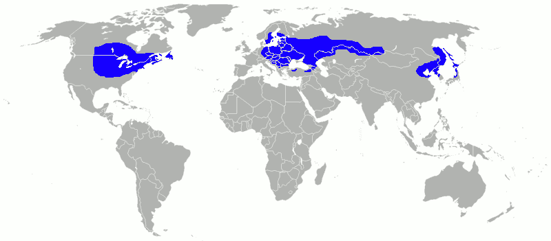
Fitxer:Humidcontinentalworld2.png
Aparença
Humidcontinentalworld2.png (800 × 351 píxels, mida del fitxer: 15 Ko, tipus MIME: image/png)
Historial del fitxer
Cliqueu una data/hora per veure el fitxer tal com era aleshores.
| Data/hora | Miniatura | Dimensions | Usuari/a | Comentari | |
|---|---|---|---|---|---|
| actual | 03:32, 6 març 2010 |  | 800 × 351 (15 Ko) | Aiyizo | Compressed with pngout. I also converted the image to 8 colors with only very slight losses in image quality. |
| 00:37, 15 feb 2010 |  | 800 × 351 (55 Ko) | Maphobbyist | {{Information |Description={{en|1=Modification of Strongbad1982 creation according to the Köppen-Geiger Map of the University of Melbourne.}} |Source={{Commons}} |Author=Strongbad1982 |Date=2008-04-25 |
Ús del fitxer
La pàgina següent utilitza aquest fitxer:
Ús global del fitxer
Utilització d'aquest fitxer en altres wikis:
- Utilització a bg.wikipedia.org
- Utilització a en.wikipedia.org
- Utilització a he.wikipedia.org
- Utilització a hr.wikipedia.org
- Utilització a ka.wikipedia.org
- Utilització a ko.wikipedia.org
- Utilització a ms.wikipedia.org
- Utilització a nl.wikipedia.org
- Utilització a nn.wikipedia.org
- Utilització a no.wikipedia.org
- Utilització a sr.wikipedia.org
- Utilització a tr.wikipedia.org


