
Fitxer:SatOeland.jpg

Mida d'aquesta previsualització: 225 × 598 píxels. Altres resolucions: 90 × 240 píxels | 180 × 480 píxels | 289 × 768 píxels | 385 × 1.024 píxels | 2.119 × 5.630 píxels.
Fitxer original (2.119 × 5.630 píxels, mida del fitxer: 2,77 Mo, tipus MIME: image/jpeg)
| Aquest fitxer i la informació mostrada a continuació provenen del dipòsit multimèdia lliure Wikimedia Commons. |
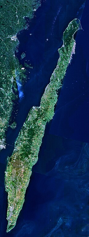
- Satellitenaufnahme der schwedischen Insel Öland
- from Nasa World Wind - Free Satellite Image
| This image is in the public domain because it is a screenshot from NASA’s globe software World Wind using a public domain layer, such as Blue Marble, MODIS, Landsat, SRTM, USGS or GLOBE.
|
 |
Historial del fitxer
Cliqueu una data/hora per veure el fitxer tal com era aleshores.
| Data/hora | Miniatura | Dimensions | Usuari/a | Comentari | |
|---|---|---|---|---|---|
| actual | 13:48, 2 set 2006 | 2.119 × 5.630 (2,77 Mo) | Godewind | * Satellitenaufnahme der schwedischen Insel Öland * from Nasa World Wind - Free Satellite Image {{PD-USGov}} Category:Satellite images of islands Category:Satellite pictures of Sweden |
Ús del fitxer
La pàgina següent utilitza aquest fitxer:
Ús global del fitxer
Utilització d'aquest fitxer en altres wikis:
- Utilització a ar.wikipedia.org
- Utilització a bg.wikipedia.org
- Utilització a bn.wikipedia.org
- Utilització a ceb.wikipedia.org
- Utilització a cs.wikipedia.org
- Utilització a de.wikipedia.org
- Utilització a es.wikipedia.org
- Utilització a et.wikipedia.org
- Utilització a eu.wikipedia.org
- Utilització a fr.wikipedia.org
- Utilització a hu.wikipedia.org
- Utilització a it.wikipedia.org
- Utilització a ja.wikipedia.org
- Utilització a ko.wikipedia.org
- Utilització a pl.wiktionary.org
- Utilització a www.wikidata.org