
Fitxer:Bayou La Batre harbor aerial view.jpg

Mida d'aquesta previsualització: 800 × 533 píxels. Altres resolucions: 320 × 213 píxels | 640 × 427 píxels | 1.024 × 683 píxels | 1.500 × 1.000 píxels.
Fitxer original (1.500 × 1.000 píxels, mida del fitxer: 796 Ko, tipus MIME: image/jpeg)
| Aquest fitxer i la informació mostrada a continuació provenen del dipòsit multimèdia lliure Wikimedia Commons. |
| Descripció |
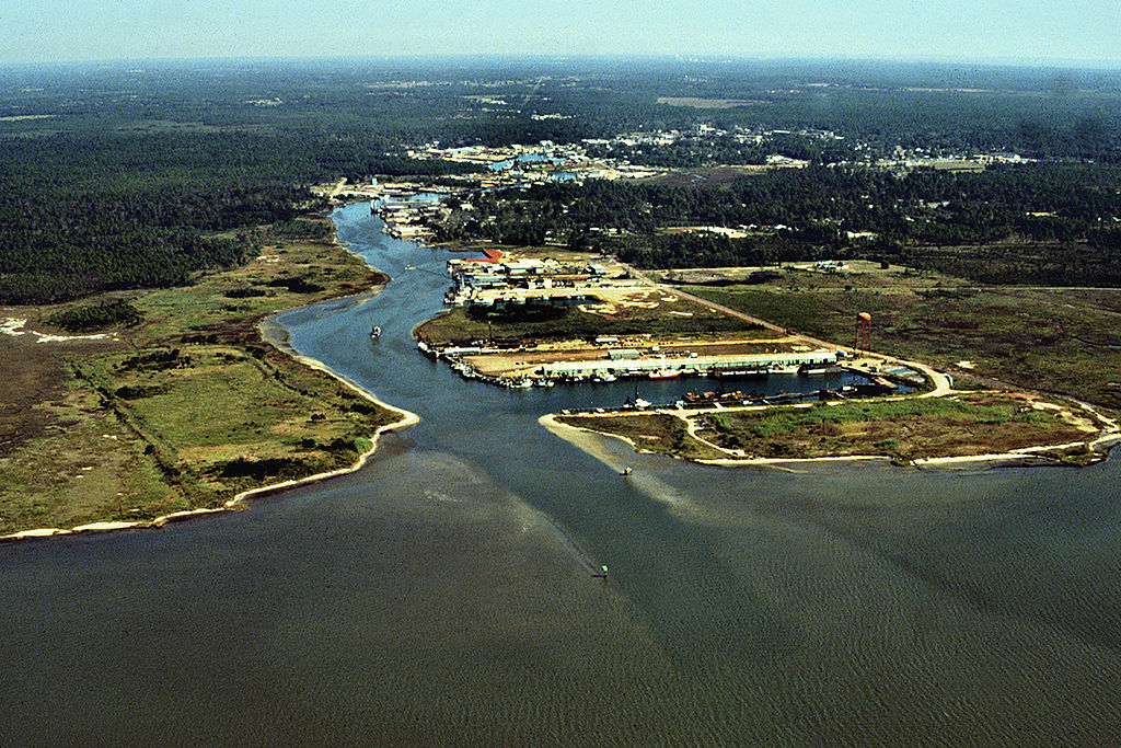
English: Aerial view of the harbor entrance from the Gulf of Mexico at Bayou La Batre, Alabama, USA. View is to the northwest.
Coordinates: 30°23′1.27″N 88°16′16″W / 30.3836861°N 88.27111°W |
|||
| Localització | Bayou La Batre, Alabama, USA | |||
| Data | (Caveat: Dates provided by U.S. Army Corps of Engineers Digital Visual Library are not reliable and are often wrong.) | |||
| Font |
U.S. Army Corps of Engineers Digital Visual Library Image page Image description page Digital Visual Library home page |
|||
| Autor | Adrien Lamarre, U.S. Army Corps of Engineers | |||
| Permís (Com reutilitzar aquest fitxer) |
|
Historial del fitxer
Cliqueu una data/hora per veure el fitxer tal com era aleshores.
| Data/hora | Miniatura | Dimensions | Usuari/a | Comentari | |
|---|---|---|---|---|---|
| actual | 07:06, 28 abr 2007 | | 1.500 × 1.000 (796 Ko) | DanMS | {{Information | Description = {{en|Aerial view of the harbor entrance from the Gulf of Mexico at Bayou La Batre, Alabama, USA. View is to the northwest.}} Coordinates: {{Coor dms|30|23|1.27|N|88|16|16|W|type:city|display=inline}} | Source = U.S |
Ús del fitxer
La pàgina següent utilitza aquest fitxer:
Ús global del fitxer
Utilització d'aquest fitxer en altres wikis:
- Utilització a ar.wikipedia.org
- Utilització a arz.wikipedia.org
- Utilització a ceb.wikipedia.org
- Utilització a ce.wikipedia.org
- Utilització a cy.wikipedia.org
- Utilització a da.wikipedia.org
- Utilització a de.wikipedia.org
- Utilització a de.wikivoyage.org
- Utilització a en.wikipedia.org
- Utilització a es.wikipedia.org
- Utilització a eu.wikipedia.org
- Utilització a fr.wikipedia.org
- Utilització a ht.wikipedia.org
- Utilització a hu.wikipedia.org
- Utilització a io.wikipedia.org
- Utilització a it.wikipedia.org
- Utilització a lld.wikipedia.org
- Utilització a no.wikipedia.org
- Utilització a pl.wikipedia.org
- Utilització a pt.wikipedia.org
- Utilització a sh.wikipedia.org
- Utilització a sr.wikipedia.org
- Utilització a tt.wikipedia.org
- Utilització a uk.wikipedia.org
- Utilització a uz.wikipedia.org
- Utilització a vi.wikipedia.org
- Utilització a www.wikidata.org
- Utilització a zh-min-nan.wikipedia.org