
Fitxer:Map of municipalities of Colombia 2007.svg

Mida d'aquesta previsualització PNG del fitxer SVG: 506 × 600 píxels. Altres resolucions: 202 × 240 píxels | 405 × 480 píxels | 648 × 768 píxels | 864 × 1.024 píxels | 1.727 × 2.048 píxels | 512 × 607 píxels.
Fitxer original (fitxer SVG, nominalment 512 × 607 píxels, mida del fitxer: 3,01 Mo)
| Aquest fitxer i la informació mostrada a continuació provenen del dipòsit multimèdia lliure Wikimedia Commons. |
Resum
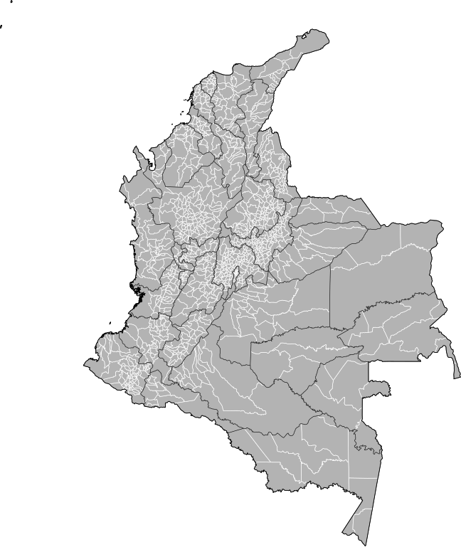
| Descripció | Map of the municipalities of Colombia. Created by Rarelibra 15:39, 23 October 2007 (UTC) for public domain use, using MapInfo Professional v8.5 and various mapping resources. NOTE: Map includes the localidades of Bogota. |
| Data | 23 d'octubre de 2007 (original upload date) |
| Font | No machine-readable source provided. Own work assumed (based on copyright claims). |
| Autor | No machine-readable author provided. Rarelibra assumed (based on copyright claims). |
Llicència
| Jo, el titular del copyright d'aquesta obra, l'allibero al domini públic. Això s'aplica a tot el món. En alguns països això pot no ser legalment possible, en tal cas: Jo faig concessió a tothom del dret d'usar aquesta obra per a qualsevol propòsit, sense cap condició llevat d'aquelles requerides per la llei. |
Historial del fitxer
Cliqueu una data/hora per veure el fitxer tal com era aleshores.
| Data/hora | Miniatura | Dimensions | Usuari/a | Comentari | |
|---|---|---|---|---|---|
| actual | 22:59, 4 feb 2013 | | 512 × 607 (3,01 Mo) | Milenioscuro | correction of some departmental borders |
| 00:51, 22 feb 2012 |  | 512 × 607 (3 Mo) | Milenioscuro | added locator, thick lines | |
| 00:38, 22 feb 2012 |  | 512 × 607 (2,96 Mo) | Milenioscuro | added new municipalities, larger size | |
| 20:53, 24 oct 2007 |  | 512 × 323 (2,47 Mo) | Rarelibra | corrected version - thank you to User Bogomolov for pointing out the error! | |
| 17:39, 23 oct 2007 |  | 512 × 324 (2,42 Mo) | Rarelibra | Map of the municipalities of Colombia. Created by ~~~~ for public domain use, using MapInfo Professional v8.5 and various mapping resources. |
Ús del fitxer
No hi ha pàgines que utilitzin aquest fitxer.
Ús global del fitxer
Utilització d'aquest fitxer en altres wikis:
- Utilització a fr.wikipedia.org