
Fitxer:La Réunion department location map.svg

Mida d'aquesta previsualització PNG del fitxer SVG: 645 × 600 píxels. Altres resolucions: 258 × 240 píxels | 516 × 480 píxels | 826 × 768 píxels | 1.102 × 1.024 píxels | 2.203 × 2.048 píxels | 1.037 × 964 píxels.
Fitxer original (fitxer SVG, nominalment 1.037 × 964 píxels, mida del fitxer: 113 Ko)
| Aquest fitxer i la informació mostrada a continuació provenen del dipòsit multimèdia lliure Wikimedia Commons. |
Resum
| Posició de la càmera | | Aquesta i altres imatges properes a: OpenStreetMap |
|---|
| Descripció |
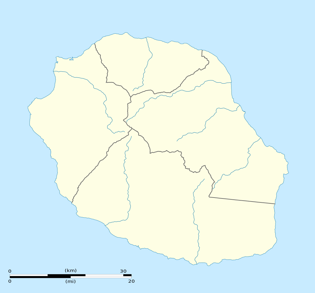
English: Blank physical map of the region and department of Réunion, France, for geo-location purpose.
Français : Carte physique vierge de la région et département de La Réunion, France, destinée à la géolocalisation. Scale: 1:300,000 (precision: 75 m)
Geographic limits of the map:
|
||
| Data | |||
| Font |
Treball propi
|
||
| Autor | Eric Gaba (Sting - fr:Sting) | ||
| Permís (Com reutilitzar aquest fitxer) |
|
||
| Altres versions |
|

Llicència
Jo, el titular dels drets d'autor d'aquest treball, el public sota les següents llicències:
Aquest fitxer està subjecte a la llicència de Creative Commons Reconeixement i Compartir Igual 3.0 No adaptada.
- Sou lliure de:
- compartir – copiar, distribuir i comunicar públicament l'obra
- adaptar – fer-ne obres derivades
- Amb les condicions següents:
- reconeixement – Heu de donar la informació adequada sobre l'autor, proporcionar un enllaç a la llicència i indicar si s'han realitzat canvis. Podeu fer-ho amb qualsevol mitjà raonable, però de cap manera no suggereixi que l'autor us dóna suport o aprova l'ús que en feu.
- compartir igual – Si modifiqueu, transformeu, o generareu amb el material, haureu de distribuir les vostres contribucions sota una llicència similar o una de compatible com l'original

|
S'autoritza la còpia, la distribució i la modificació d'aquest document sota els termes de la llicència de documentació lliure GNU versió 1.2 o qualsevol altra versió posterior que publiqui la Free Software Foundation; sense seccions invariants, ni textos de portada, ni textos de contraportada. S'inclou una còpia d'aquesta llicència en la secció titulada GNU Free Documentation License. |
Podeu seleccionar la llicència que vulgueu.
Historial del fitxer
Cliqueu una data/hora per veure el fitxer tal com era aleshores.
| Data/hora | Miniatura | Dimensions | Usuari/a | Comentari | |
|---|---|---|---|---|---|
| actual | 17:09, 23 març 2009 | | 1.037 × 964 (113 Ko) | Sting | == Summary == {{Location|21|07|30|S|55|31|30|E|scale:500000}} <br/> {{Information |Description={{en|Blank administrative map of the department of Réunion, France, for geo-location purpose.}} { |
Ús del fitxer
No hi ha pàgines que utilitzin aquest fitxer.
Ús global del fitxer
Utilització d'aquest fitxer en altres wikis:
- Utilització a af.wikipedia.org
- Utilització a als.wikipedia.org
- Utilització a an.wikipedia.org
- Utilització a ar.wikipedia.org
- Utilització a az.wikipedia.org
- Utilització a be-tarask.wikipedia.org
- Utilització a be.wikipedia.org
- Utilització a bg.wikipedia.org
- Utilització a bs.wikipedia.org
- Utilització a ceb.wikipedia.org
- Le Port
- Plantilya:Location map Réunion
- Table Point
- Bayonne (pagklaro)
- Petite Ile
- Possession
- Découverte
- Saint-André (pagklaro)
- Saint-Pierre (pagklaro)
- Eden
- Tapal
- Saint Paul Bay
- Maduran
- Plate
- L'Ilet
- Cap Noir
- Pointe Rouge
- Saint-Leu
- L'Eperon
- Bory
- Bras du Milieu
- Gros Morne
- Lac des Merles
- La Glacière
- La Petite Ile
- Le Grand Bras
- L'Éperon
- Le Petit Bras
- Les Bras
- Les Cascades
- L'Îlet
- Petite Île
Vegeu més usos globals d'aquest fitxer.