
Fitxer:Mediterranean Sea political map-blank.svg

Mida d'aquesta previsualització PNG del fitxer SVG: 800 × 585 píxels. Altres resolucions: 320 × 234 píxels | 640 × 468 píxels | 1.024 × 749 píxels | 1.280 × 936 píxels | 2.560 × 1.872 píxels | 2.046 × 1.496 píxels.
Fitxer original (fitxer SVG, nominalment 2.046 × 1.496 píxels, mida del fitxer: 1,06 Mo)
| Aquest fitxer i la informació mostrada a continuació provenen del dipòsit multimèdia lliure Wikimedia Commons. |
Resum
| Descripció |
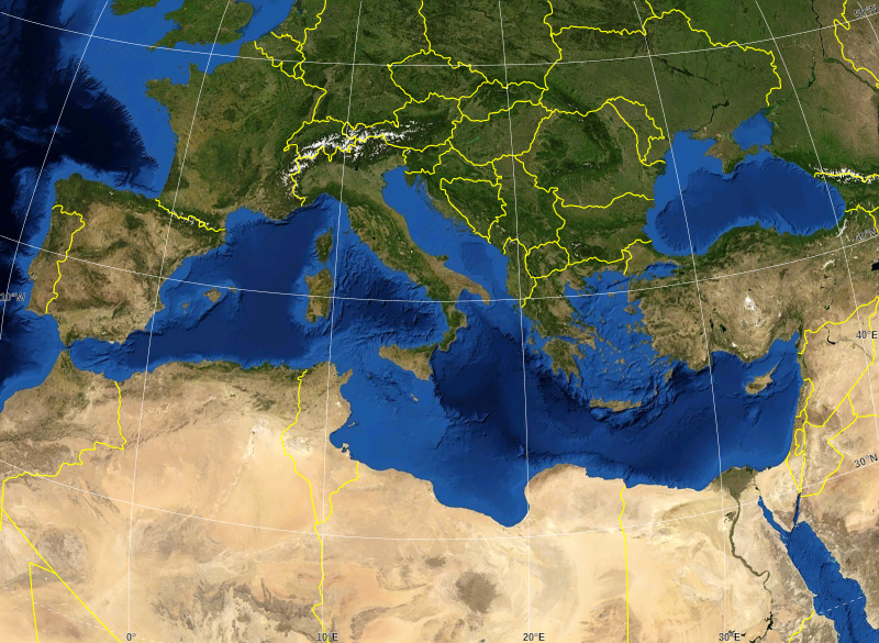
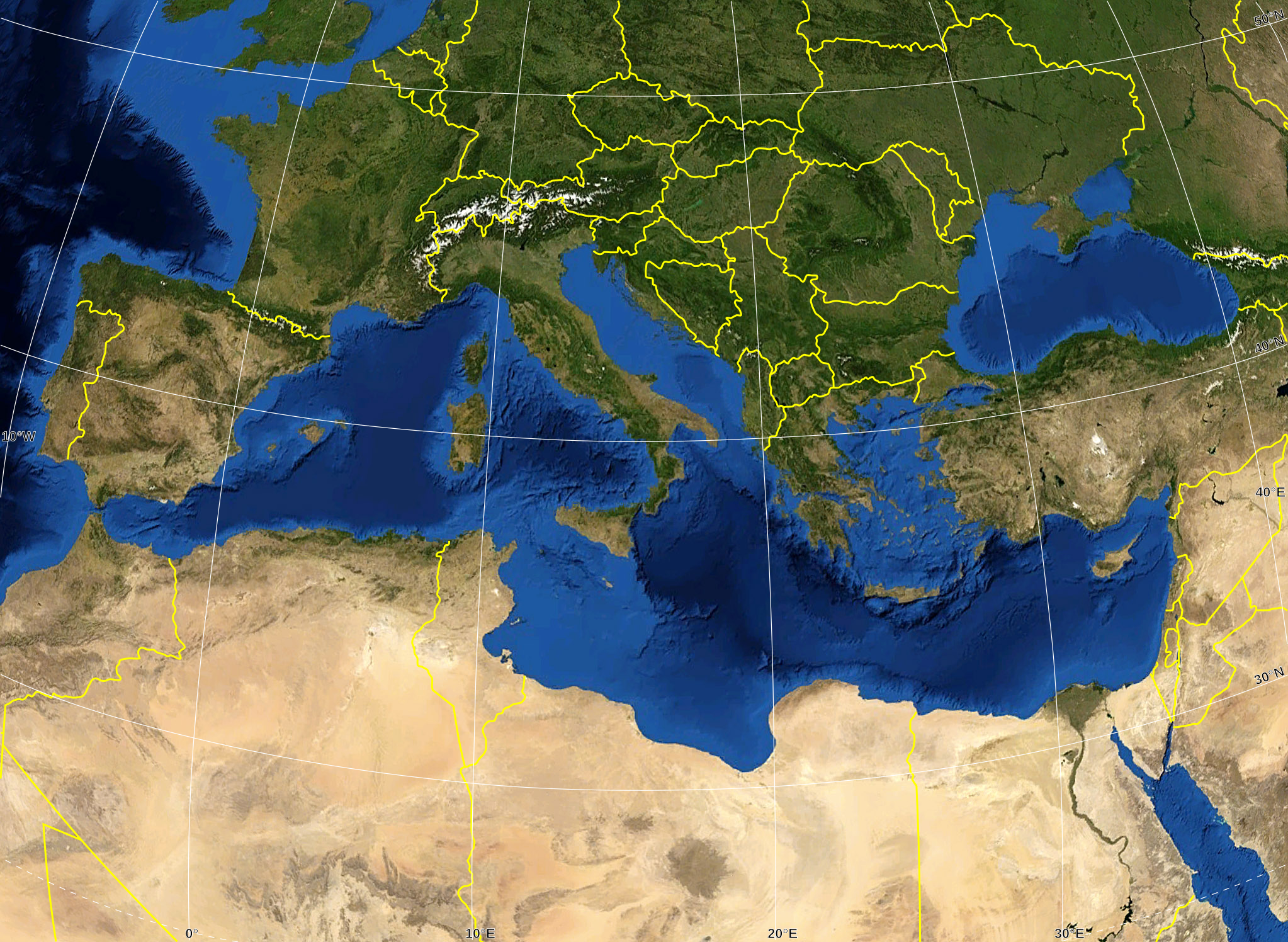
English: Blank map of the Mediterranean Sea, with the State borders.
Français : Carte vierge de la Mer Méditerranée avec les frontières nationales. |
| Data | |
| Font |
Own work ; Raster background map : screenshot from NASA World Wind (Public Domain) |
| Autor | Eric Gaba (Sting - fr:Sting) |
| Permís (Com reutilitzar aquest fitxer) |
All rights released |
| Altres versions |
Derivative works of this file: Delian League Campaign Map.png
|


Llicència
| This image is in the public domain because it is a screenshot from NASA’s globe software World Wind using a public domain layer, such as Blue Marble, MODIS, Landsat, SRTM, USGS or GLOBE.
|
 |
| This work was previously under Public Domain, or a Free License. It has been digitally enhanced and/or modified. This derivative work has been (or is hereby) released into the public domain by its author, Sting at the French Wikipedia project. This applies worldwide. In some countries this is not legally possible; if so:
|
Historial del fitxer
Cliqueu una data/hora per veure el fitxer tal com era aleshores.
| Data/hora | Miniatura | Dimensions | Usuari/a | Comentari | |
|---|---|---|---|---|---|
| actual | 18:14, 19 maig 2008 | | 2.046 × 1.496 (1,06 Mo) | Sting | "Tropic of Cancer" label correction |
| 03:07, 21 juny 2007 |  | 2.046 × 1.496 (1,06 Mo) | Sting | {{Information |Description=Blank map of the Mediterranean Sea, with the State borders. |Source=Own work ;<br/>Background map : screenshot from NASA World Wind (Public Domain) |Date=June 2007 |Author=Eric Gaba ([[User:Sting|Sting] |
Ús del fitxer
No hi ha pàgines que utilitzin aquest fitxer.
Ús global del fitxer
Utilització d'aquest fitxer en altres wikis:
- Utilització a ar.wikipedia.org
- Utilització a fr.wikipedia.org
- Utilització a gv.wikipedia.org
- Utilització a id.wikipedia.org
- Utilització a pl.wiktionary.org