
Fitxer:Morgan City Louisiana aerial view.jpg

Mida d'aquesta previsualització: 800 × 533 píxels. Altres resolucions: 320 × 213 píxels | 640 × 427 píxels | 1.024 × 683 píxels | 1.500 × 1.000 píxels.
Fitxer original (1.500 × 1.000 píxels, mida del fitxer: 622 Ko, tipus MIME: image/jpeg)
| Aquest fitxer i la informació mostrada a continuació provenen del dipòsit multimèdia lliure Wikimedia Commons. |
| Descripció |
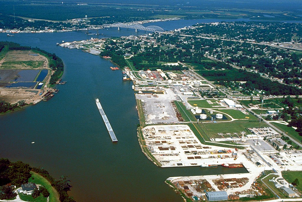
English: Aerial view of the port of Morgan City, Louisiana, USA. The Atchafalaya River flows from right to left in the background. These waterways are part of the Gulf Intracoastal Waterway. View is to the west. |
|||
| Data | ||||
| Font |
U.S. Army Corps of Engineers Digital Visual Library Image page Image description page Digital Visual Library home page |
|||
| Autor | Arthur Belala, U.S. Army Corps of Engineers | |||
| Permís (Com reutilitzar aquest fitxer) |
|
|||
| Localització | Morgan City, Louisiana, USA |
| Posició de la càmera | | Aquesta i altres imatges properes a: OpenStreetMap |
|---|
Historial del fitxer
Cliqueu una data/hora per veure el fitxer tal com era aleshores.
| Data/hora | Miniatura | Dimensions | Usuari/a | Comentari | |
|---|---|---|---|---|---|
| actual | 07:43, 1 abr 2007 | | 1.500 × 1.000 (622 Ko) | DanMS | {{Information | Description = {{en|Aerial view of the port of Morgan City, Louisiana, USA. The Atchafalaya River flows from right to left in the background. These waterways are part of the Gulf Intracoastal Waterway.}} | Source = U.S. Army Corp |
Ús del fitxer
No hi ha pàgines que utilitzin aquest fitxer.
Ús global del fitxer
Utilització d'aquest fitxer en altres wikis:
- Utilització a azb.wikipedia.org
- Utilització a ceb.wikipedia.org
- Utilització a de.wikipedia.org
- Utilització a fa.wikipedia.org
- Utilització a fi.wikipedia.org
- Utilització a fr.wikipedia.org
- Utilització a it.wikipedia.org
- Utilització a nl.wikipedia.org
- Utilització a pl.wikipedia.org
- Utilització a pt.wikipedia.org
- Utilització a sh.wikipedia.org
- Utilització a sr.wikipedia.org
- Utilització a tr.wikipedia.org
- Utilització a uk.wikipedia.org
- Utilització a zh-min-nan.wikipedia.org