
Fitxer:Mount Pleasant Historic Site.jpg
Mida d'aquesta previsualització: 800 × 402 píxels. Altres resolucions: 320 × 161 píxels | 640 × 322 píxels | 1.024 × 515 píxels | 1.280 × 644 píxels | 2.060 × 1.036 píxels.
Fitxer original (2.060 × 1.036 píxels, mida del fitxer: 416 Ko, tipus MIME: image/jpeg)
| Aquest fitxer i la informació mostrada a continuació provenen del dipòsit multimèdia lliure Wikimedia Commons. |
|
This is an image of a place or building that is listed on the National Register of Historic Places in the United States of America. Its reference number is 74001536. |
Resum
| Descripció |
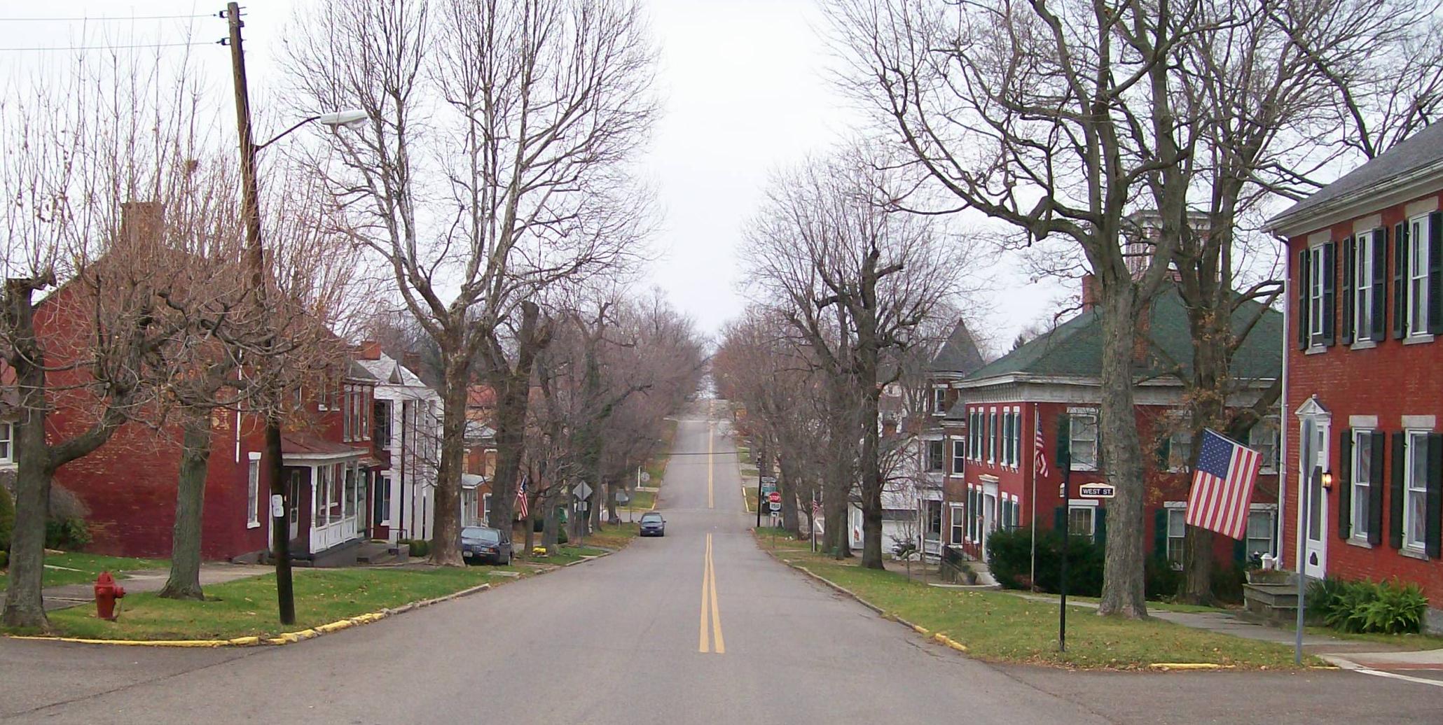
English: The Mount Pleasant Historic District in Ohio looking east along Union Street from its junction with Market Street. The district was added to the National Register of Historic Places in 1974 for national significance in the abolitionist movement including being a stop on the Underground Railroad and intact architectural integrity. Taken on 2009-11-21. |
| Data | (UTC) |
| Font |
I (Bwsmith84 (talk)) created this work entirely by myself. Transferred from en.wikipedia |
| Autor | Bwsmith84 (talk) |
| Permís (Com reutilitzar aquest fitxer) |
Bwsmith84 at en.wikipedia, el titular dels drets d'autor d'aquest treball, el public sota la següent llicència: Aquest fitxer està subjecte a la llicència de Creative Commons Reconeixement 3.0 No adaptada. Reconeixement: Bwsmith84 at en.wikipedia
|
| Posició de l'objecte | | Aquesta i altres imatges properes a: OpenStreetMap |
|---|
Registre original de càrregues
La pàgina de descripció original era aquí. Els noms d'usuari a continuació es refereixen a en.wikipedia.
- 2009-11-21 22:33 Bwsmith84 2060×1036 (425814 bytes) {{Information |Description = The Mount Plesant Historic Site looking from Market Street to the east. |Source = I (~~~) created this work entirely by myself. |Date = ~~~~~ |Author = ~~~ |other_versions = }}
Historial del fitxer
Cliqueu una data/hora per veure el fitxer tal com era aleshores.
| Data/hora | Miniatura | Dimensions | Usuari/a | Comentari | |
|---|---|---|---|---|---|
| actual | 11:42, 9 gen 2012 | | 2.060 × 1.036 (416 Ko) | BotMultichillT | {{BotMoveToCommons|en.wikipedia|year={{subst:CURRENTYEAR}}|month={{subst:CURRENTMONTHNAME}}|day={{subst:CURRENTDAY}}}} == {{int:filedesc}} == {{Information |description={{en|1=The Mount Pleasant Historic District in Ohio looking east along Union Street f |
Ús del fitxer
La pàgina següent utilitza aquest fitxer:
Ús global del fitxer
Utilització d'aquest fitxer en altres wikis:
- Utilització a ar.wikipedia.org
- Utilització a ceb.wikipedia.org
- Utilització a cy.wikipedia.org
- Utilització a en.wikipedia.org
- Utilització a es.wikipedia.org
- Utilització a eu.wikipedia.org
- Utilització a fr.wikipedia.org
- Utilització a ht.wikipedia.org
- Utilització a it.wikipedia.org
- Utilització a lld.wikipedia.org
- Utilització a pl.wikipedia.org
- Utilització a pt.wikipedia.org
- Utilització a sh.wikipedia.org
- Utilització a sr.wikipedia.org
- Utilització a uk.wikipedia.org
- Utilització a vi.wikipedia.org
- Utilització a www.wikidata.org
- Utilització a zh-min-nan.wikipedia.org